• Mon-Thur 630 am - 5 pm
  • 80 EAST 4000 NORTH, HYDE PARK, UT 84318
  • (435) 752-5110

Snowsat

SNOWsat is a professional slope and fleet management system with snow depth measurement, which is based on satellite-guided positioning.

Snow depth measurement

The current position of the snow groomer is continually plotted to an accuracy of a few inches. The value that results after deducting the vehicle height is then compared with the depth value of a digital terrain model (reference depth) stored in the system. The snow depth at the current vehicle position is the difference between these two heights.

Infrastructure

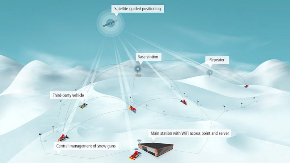
Precise positioning is essential for high-accuracy snow depth measurement. This requires correction signals, which eliminate system-related inaccuracies, increasing positioning accuracy still further. The SNOWsat base station calculates these figures using GPS, GLONASS and GALILEO satellite signals. The correction signals are sent to the snow groomers directly or with the help of repeaters. These may be required to guarantee optimum reception in ski resorts with complex topography.

In the snow groomer the GNSS receiver and the on-board computer continually calculate position, snow depth and other vehicle data, record it and present it on the touchscreen in the driver’s cab. When the vehicle is within range of a SNOWsat WiFi access point the data is automatically transmitted to the SNOWsat server and stored there.

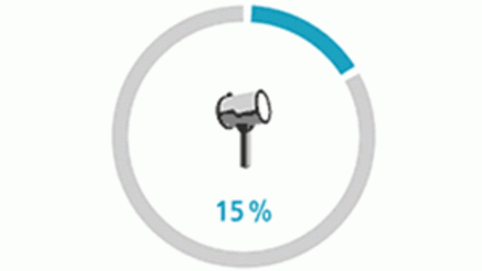
15% Less
Man-made Snow

Snow Gun Savings
  • Snow produced only as needed
  • Real-time display of snow depth in the vehicle
  • Accuracy of snow depth measurement to within +/- 3 cm

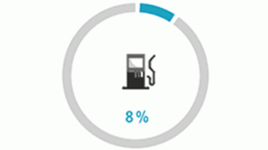
8% Less
Fuel Consumption

Fuel Consumption
  • Saving thanks to optimized routes and more economical driving
  • Real-time display of tracks taken

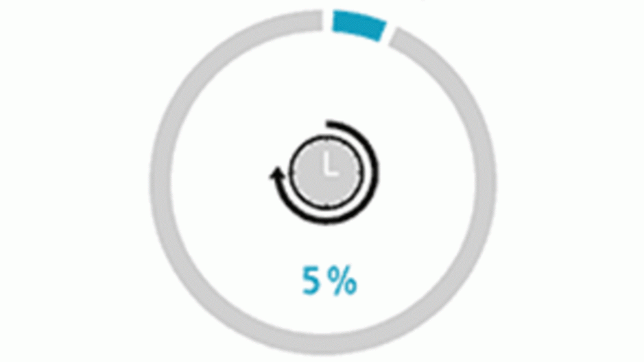
5% Less
Operating Time

Operating Time
  • Reduction through analysis and optimization of operating tasks

Slope and fleet management

The analysis software being used with SNOWsat enables the slope and fleet managers to access diverse information and perform additional analysis processes. This results in diverse effects: optimized workflows and vehicle routes, for example, increase efficiency and also reduce fuel consumption. Vehicle data and snow depths are displayed easily and clearly on a map of the ski resort.

The production of man-made snow is one of the biggest cost factors in a ski resort. SNOWsat delivers detailed information on which snow guns need to be activated and when. This enables the resort to optimize use of the snow groomers and produce snow only as needed. An enormous financial advantage, which covers the investment costs in a surprisingly short time.

How Snowsat works

Orientation and safety

SNOWsat also provides the driver with an overview of all important information. It actively supports orientation around the site – regardless of the weather or visibility conditions. In addition to displaying snow depths, slope edges, snowmaking facilities, roads and paths, the system also warns drivers of danger zones and alerts them to the presence of other snow groomers and their winch ropes, if these vehicles are equipped with SNOWsat systems.

Vehicle system

Your PistenBully or even an off-brand vehicle are equipped with the chosen SNOWsat vehicle system. This can be done either when it is produced,  or locally at the ski resort. There are various systems to choose from, individually tailored for slope management and/or complete fleet management.

Download Brochure